en
en Map Reading and Land Navigation
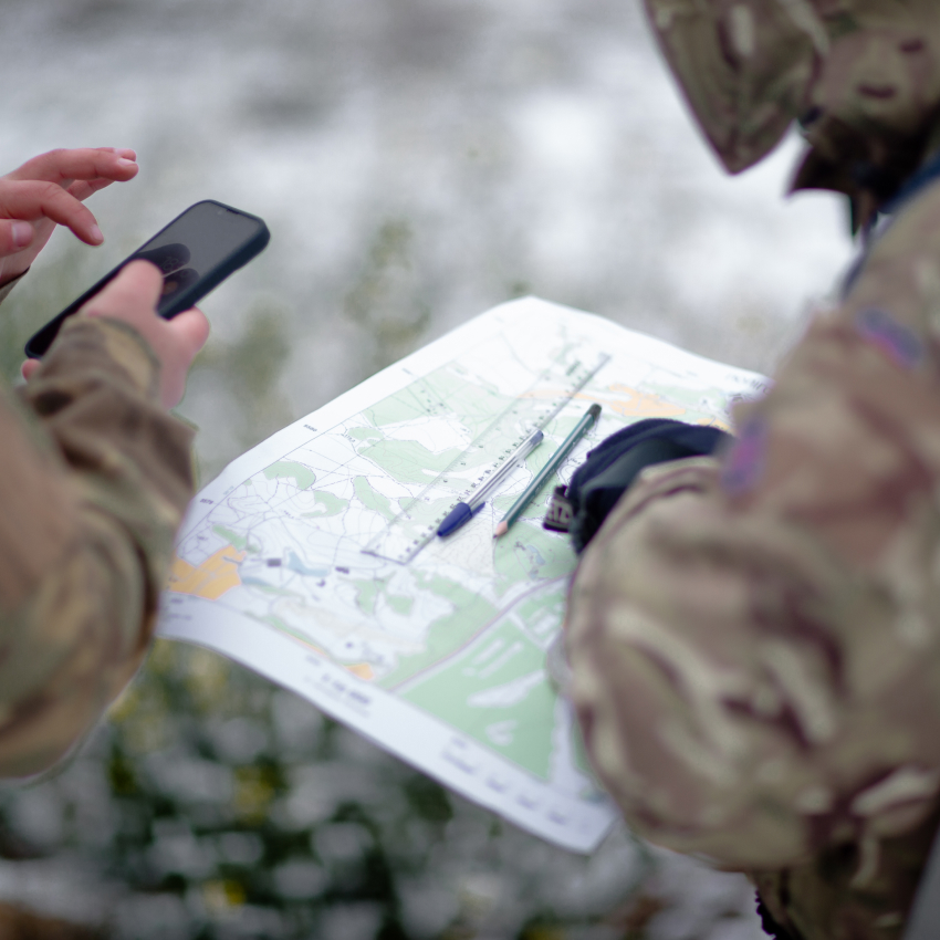
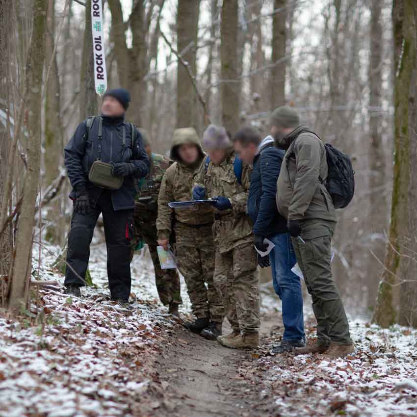
Map Reading and Land Navigation is one of the fundamental areas of training for Soldiers of all branches and types of the Armed Forces of Ukraine, as well as representatives of other defense agencies and organizations. We teach soldiers, sergeants, and officers of all ranks how to: 1) read a topographical map and a terrain; 2) understand the terrain and its features; 3) navigate the terrain, determine exact coordinates, work with them in different systems; 4) plan actions on the map, develop a scheme of movement; 5) measure distances and sizes of objects; 6) use the “Kropyva” situational awareness system.
A deep understanding of the basics of military topography enables unit commanders and subordinate military personnel to more effectively plan and execute defensive and offensive operations taking into account the features of the environment, identify and engage targets with greater accuracy, send coordinates and data important for decision-making by commanders at all levels, and coordinate the work of their forces and equipment.
Map Reading and Land Navigation